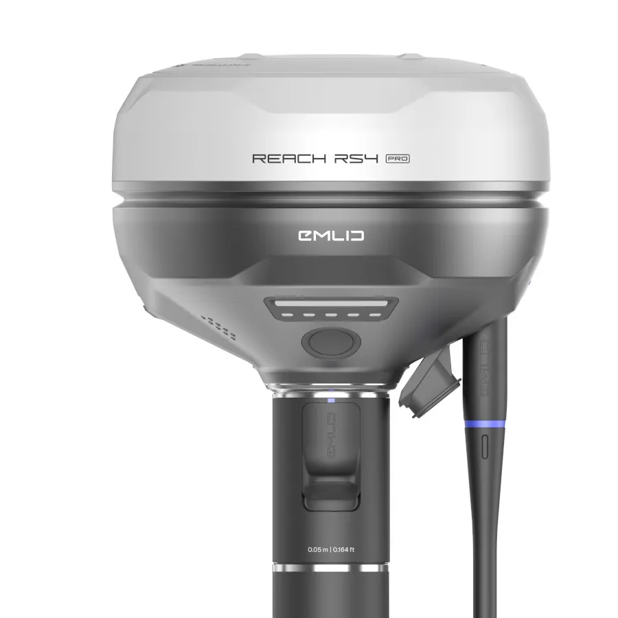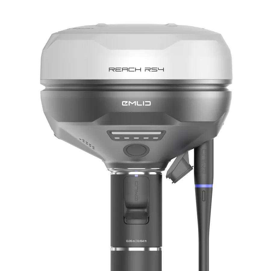
Emlid Reach RS4 RTK GNSS Receiver | Survey-Grade GPS for Accurate Fieldwork
The Emlid Reach RS4 is a high-performance RTK GNSS receiver designed for surveyors; engineers; and geospatial professionals who require fast; reliable centimetre-level positioning in real-world conditions.
As an authorised UK Emlid dealer since 2018; Innovelec supplies the Reach RS4 with expert support; fast UK delivery; and practical guidance to help you get the most from your equipment.
With all-band GNSS tracking; advanced tilt compensation; and dual radio connectivity; the RS4 delivers consistent accuracy and dependable performance across surveying; construction; GIS; and mapping applications.
✅ Centimetre-level RTK accuracy
✅ All-band GNSS support (L1–L6 frequencies)
✅ Tilt compensation for faster measurements
✅ Ideal RTK GNSS receiver for surveying; construction; GIS; and utilities
What Makes the Reach RS4 Different
The Reach RS4 is designed to maintain high performance in challenging environments such as urban areas and under canopy.
It combines:
- All-band GNSS tracking for stronger signal reception
- Faster IMU-based tilt compensation
- Dual LoRa and UHF radio communication
This results in:
- Faster RTK fixes
- More stable positioning
- Reduced downtime
- Greater productivity on site
Key Features
All-Band RTK GNSS Receiver
Tracks multiple satellite constellations and frequencies for improved accuracy and reliability in real-world surveying environments.
Next-Generation Tilt Compensation
Measure points without levelling the pole; allowing faster data collection and more efficient RTK workflows.
Dual Radio Connectivity (LoRa + UHF)
Flexible communication options for base and rover setups across surveying and construction applications.
Fast Initialisation
Quick start-up and rapid RTK convergence reduce waiting time in the field.
Rugged Survey-Ready Design
Durable; weather-resistant construction designed for demanding site conditions and outdoor environments.
Seamless Software Integration
Works with Emlid Flow and industry-standard survey software for efficient mapping; stakeout; and data collection.
Who Is the Reach RS4 For?
The Reach RS4 is designed for professionals who need reliable survey-grade GNSS positioning without unnecessary complexity.
It is particularly suited to:
- Land Surveyors – carrying out topographic and boundary surveys
-
Construction Engineers – performing site layout and setting out
-
Utility Mapping Teams – mapping assets and networks
-
GIS & Environmental Surveyors – collecting accurate geospatial data
- Teams upgrading from older RTK GPS or GNSS equipment
-
Local Authorities
How the Reach RS4 Improves Field Workflows
The Reach RS4 helps survey teams work faster and more efficiently in the field.
In practical terms; this means:
- Less time waiting for RTK fixes
- Faster data collection using tilt compensation
- Fewer re-measurements due to unstable positioning
- Simpler setup with flexible base and rover configurations
This makes it a practical choice for RTK GNSS surveying workflows where reliability and speed are critical.
Typical Applications for the Reach RS4
Construction and Site Layout
Accurately set out points and layouts on-site with consistent RTK GNSS positioning; even in complex environments.
Land Surveying
Carry out topographic; control; and boundary surveys with reliable centimetre-level accuracy.
Utilities and Infrastructure
Map services and assets in areas with signal obstruction such as roads; buildings; and underground networks.
GIS and Mapping
Collect high-accuracy geospatial data for mapping; planning; and environmental analysis.
From Reach RS3 to RS4: What Has Improved?
The Reach RS4 introduces key upgrades over the RS3:
- All-band GNSS tracking for better signal performance
- Faster and more stable tilt compensation
- Improved radio communication capabilities
- Enhanced performance in challenging environments
These improvements deliver more reliable results and faster workflows in the field.