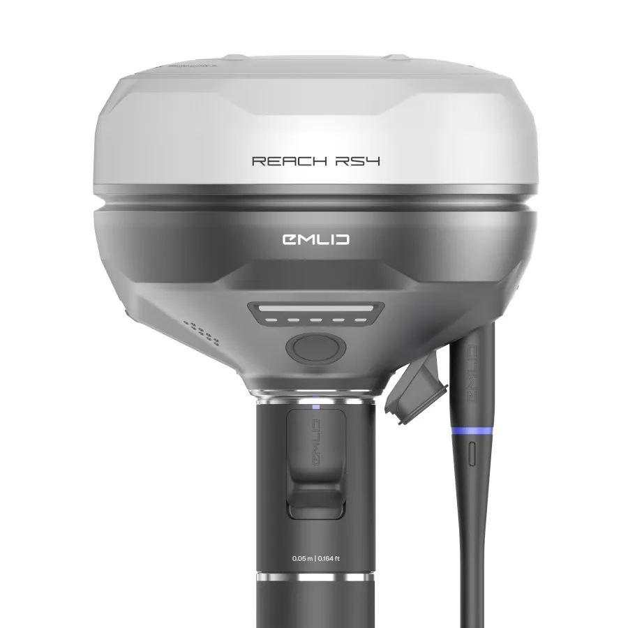
Emlid Reach RS4 Survey Kit for Reliable Survey-Grade GNSS Positioning
The Emlid Reach RS4 Survey Kit combines survey-grade RTK GNSS performance with the essential field accessories needed for efficient surveying and mapping.
Supplied by Innovelec; an authorised UK Emlid dealer since 2018; this complete package includes the Reach RS4 RTK GNSS Receiver; Emlid Survey Pole; and BMP101 Bumper for Reach RS4; with optional RTKFnet correction services available for customers requiring real-time centimetre-level positioning.
Designed for surveyors; engineers; utility contractors; and geospatial professionals; the Reach RS4 delivers reliable RTK accuracy; fast initialisation; and dependable performance in challenging field conditions.
✅ Reach RS4 RTK GNSS Receiver included
✅ Emlid Survey Pole included
✅ BMP101 Reach Rs4 Bumper
✅ Optional RTKFnet Correction Services available
✅ Centimetre-level RTK positioning
✅ Fast and reliable GNSS performance
✅ Ideal for surveying; utilities; GIS; and construction projects
✅ UK supplied by an authorised Emlid dealer since 2018
Included in This Survey Kit
✅ Emlid Reach RS4 RTK GNSS Receiver
✅ Emlid 1.8m Survey Pole with Smartphone Mount
✅ BMP101 Reach Rs4 Bumper
✅ Carry Case and Charging Accessories
✅ UK Technical Support
✅ Optional RTKFnet Correction Services
Why Choose the Reach RS4 Survey Kit?
The Reach RS4 is designed for organisations that require dependable RTK GNSS positioning without unnecessary complexity.
Combining all-band GNSS technology; tilt compensation; and robust field performance; the RS4 enables rapid point collection while maintaining survey-grade accuracy across a wide range of projects.
Whether performing topographical surveys; utility mapping; construction setout; GIS data collection; or infrastructure surveys; the Reach RS4 helps teams work efficiently and confidently.
Key Benefits
✅ Centimetre-level RTK accuracy
✅ All-band GNSS tracking
✅ Tilt compensation for faster data collection
✅ Lightweight and easy to deploy
✅ Compatible with RTKFnet and other NTRIP correction networks
✅ Designed for daily professional use
Key Features
All-Band RTK GNSS Receiver
Tracks all major GNSS constellations to provide reliable positioning in demanding environments.
Tilt Compensation
Collect accurate points without perfectly levelling the survey pole; helping improve productivity in the field.
Fast Initialisation
Achieve RTK fixed solutions quickly and reduce downtime when moving between survey locations.
Rugged Design
Built to withstand demanding site conditions including construction; utilities; infrastructure; and land surveying projects.
Emlid Flow Integration
Works seamlessly with Emlid Flow for survey; stakeout; data collection; and GIS workflows.
Optional RTKFnet Correction Services
Optional RTKFnet correction services are available for customers who require real-time centimetre-level positioning accuracy.
Using a nationwide UK network of GNSS reference stations; RTKFnet delivers reliable NTRIP corrections directly to your Reach RS4; eliminating the need to deploy and maintain your own base station.
✅ Real-time centimetre-level positioning
✅ UK-wide RTK correction coverage
✅ Reliable NTRIP correction service
✅ No local base station required
✅ Suitable for surveying; construction; utilities; rail; and infrastructure projects
Available subscription options:
- Hardware Only
- Hardware + RTKFnet (12 Months)
- Hardware + RTKFnet (36 Months)
Who Is This Survey Kit For?
Land Surveying
Accurate topographical surveys; boundary surveys; and control point collection.
Construction & Site Setout
Reliable positioning for setting out and verification tasks.
Utilities & Infrastructure
Asset mapping; network surveys; and infrastructure projects.
GIS & Asset Management
Fast and accurate field data collection for GIS professionals.
Rail & Highways
Efficient RTK positioning for inspection; monitoring; and surveying applications.
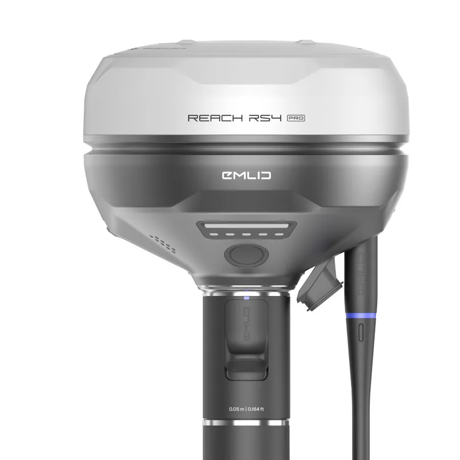
Reach RS4 vs Reach RS4 Pro
Both receivers deliver professional RTK GNSS performance but are designed for different workflows.
Choose the Reach RS4 if you need:
✅ Reliable RTK surveying performance
✅ Tilt compensation
✅ Fast and efficient point collection
✅ Traditional surveying workflows
✅ Maximum value for professional GNSS surveying
Choose the Reach RS4 Pro if you need:
✅ Visual stakeout
✅ Dual camera workflows