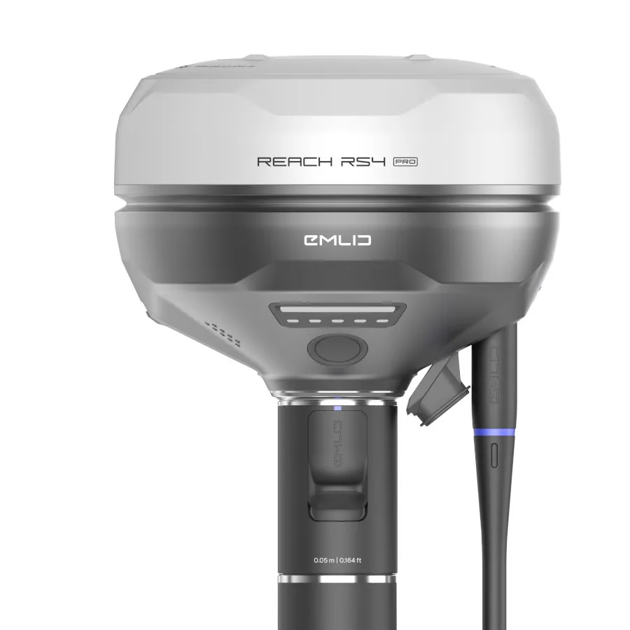
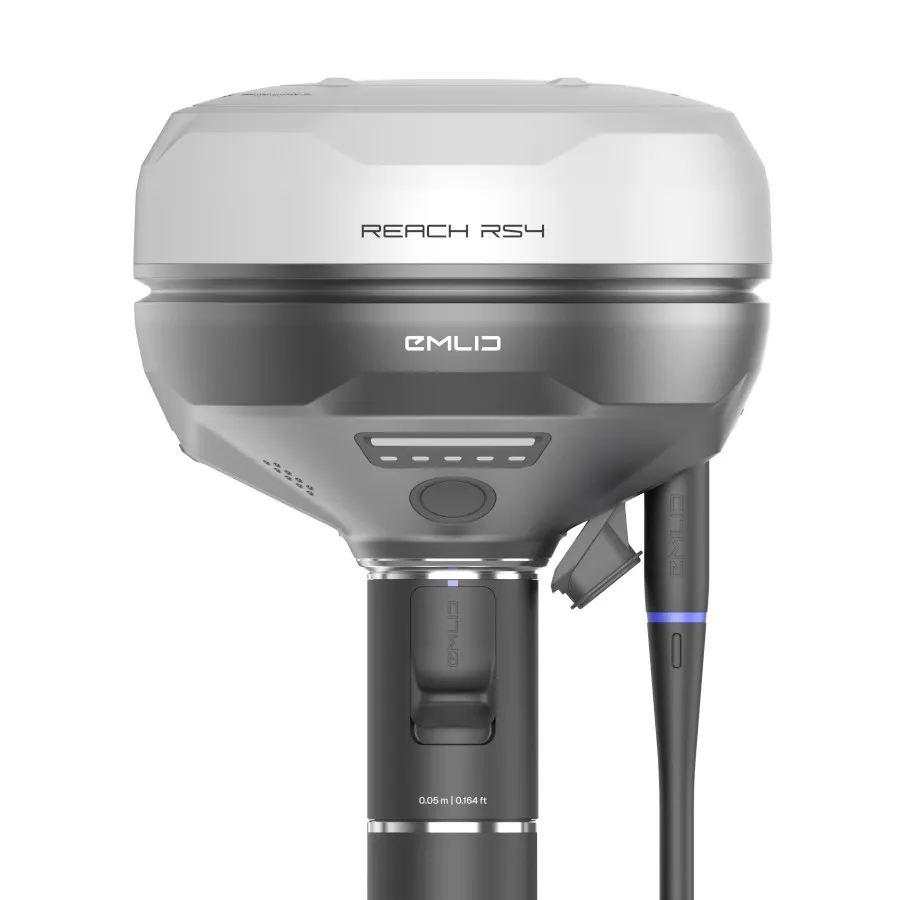
Emlid Reach RS4 Pro Survey Kit | UK Stock; Support & RTK Options
Complete RTK Survey Kit for Faster; Safer Surveying
The Emlid Reach RS4 Pro Survey Kit combines Emlid’s most advanced survey-grade GNSS receiver with the essential accessories needed for efficient fieldwork.
Supplied by Innovelec; an authorised UK Emlid dealer since 2018; this complete kit includes the Reach RS4 Pro; Emlid 1.8m Survey Pole; and a Bumper for the Reach RS4 Pro; with optional RTK correction services available to help you achieve centimetre-level accuracy from day one.
Whether you’re undertaking topographical surveys; construction setout; utility mapping; rail projects; or infrastructure work; the RS4 Pro Survey Kit provides a professional; field-ready solution backed by UK stock; technical support; and expert guidance.
Included in This Survey Kit
✅ Emlid Reach RS4 Pro RTK GNSS Receiver
✅ Emlid 1.8m Survey Pole with Smartphone Mount
✅ RS4 Pro Bumper
✅ UK-Based Technical Support
✅ Fast UK Delivery
✅ Optional RTK Correction Services
Why Choose the Reach RS4 Pro Survey Kit?
On many projects; getting a survey pole exactly where it needs to be isn’t always possible.
You may be working across live roads; behind fences; around active construction zones; or near locations where physical access presents unnecessary risk.
Traditional surveying methods often require multiple setups; additional checks; or time-consuming workarounds.
The Reach RS4 Pro changes that.
Combining all-band RTK GNSS technology with dual cameras and visual stakeout capabilities; it allows surveyors to work more efficiently while reducing the need to physically access every measurement point.
The result is faster data capture; improved productivity; and safer workflows in demanding environments.
Key Benefits
✅ Centimetre-level RTK accuracy
✅ Visual stakeout with augmented reality guidance
✅ Measure inaccessible points from a safe distance
✅ Dual-camera remote measurement capability
✅ Field-ready package with survey pole included
✅ Optional RTK correction services to suit your workflow
What Makes the RS4 Pro Different?
Many GNSS receivers rely solely on coordinates and map data.
While effective; these workflows often require surveyors to interpret positions on-screen and translate them into real-world locations.
The RS4 Pro adds an entirely new layer of usability through visual positioning and image-based measurement.
Instead of relying solely on coordinates; users can see project information within the real-world environment and work more intuitively on site.
This helps surveyors:
- Stake out points more efficiently
- Reduce setup and positioning time
- Work around obstacles more easily
- Capture measurements in inaccessible areas
- Improve confidence on complex projects
For surveyors; engineers; construction professionals; and utility contractors; this can significantly streamline daily operations.
Key Features
All-Band RTK GNSS Receiver
Track all major GNSS constellations while maintaining reliable centimetre-level positioning in challenging environments.
Dual Integrated Cameras
Capture accurate measurements without physically occupying every point.
Visual Stakeout
Stake out designs directly within the real-world environment using visual guidance and augmented reality workflows.
Remote Point Capture
Measure locations across barriers; roads; trenches; fences; and other obstacles without disrupting site operations.
Fast Initialisation
Reduce waiting times and get productive sooner.
Rugged Professional Design
Built for demanding surveying; engineering; construction; and infrastructure projects.
Emlid Flow Integration
Works seamlessly with Emlid Flow software for survey; stakeout; and data collection workflows.
Optional RTK Correction Services
Optional RTKFnet correction services are available for customers who require real-time centimetre-level positioning accuracy. Using a nationwide UK network of GNSS reference stations; RTKFnet delivers reliable NTRIP corrections directly to your Reach RS4 Pro; eliminating the need to deploy; maintain; and manage your own base station.
Ideal for surveying; construction; utilities; rail; infrastructure; GIS; and asset mapping applications; RTKFnet helps survey teams achieve consistent; survey-grade positioning across the UK. Flexible subscription options are available; allowing you to select the level of RTK correction service that best suits your project requirements and operational needs.