Sale!

Power > PoE Modules > IEEE 802.3af > 13W PD Modules
Infomart PEM1900 Series Miniature IEEE802.3af PoE PD Module (Output Voltage: 12V)
GBP 18.0
Sale!

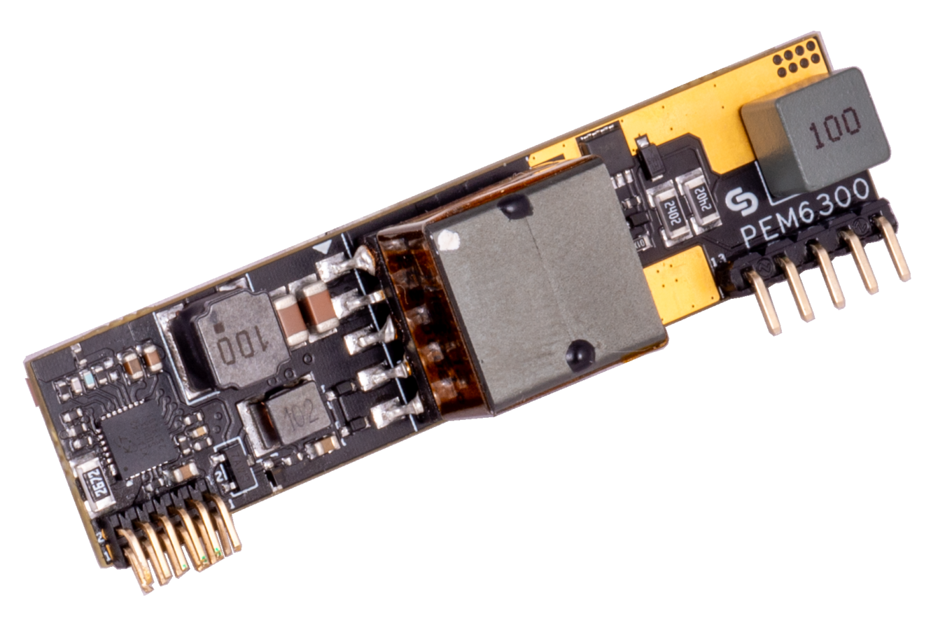
Power > PoE Modules > IEEE 802.3bt > 90W PD Modules
Infomart PEM9300BT Series Power over Ethernet (PoE) IEEE802.3bt 85W PD Module (Output-voltage: 12V)
GBP 35.4


Sale!
GBP 677.1

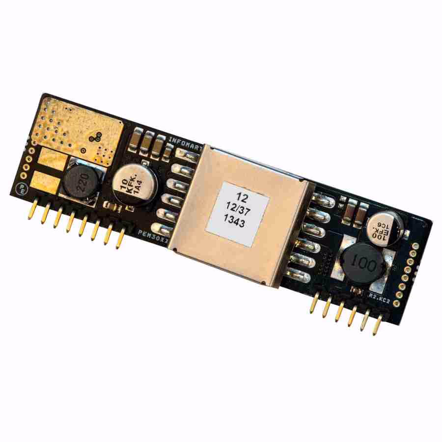
Sale!
Power > PoE Modules > IEEE 802.3bt > 60W PD Modules
Infomart PEM6300BT Series IEEE802.3bt Type 3 Class 6 60W PoE PD Module (Output Voltage: 12V)
GBP 30.0
Sale!
Power > PoE Modules > IEEE 802.3af > 13W PD Modules
Infomart PEM1900 Series Miniature IEEE802.3af PoE PD Module (Output Voltage: 5V)
GBP 18.0