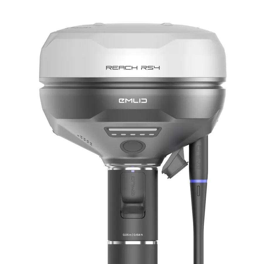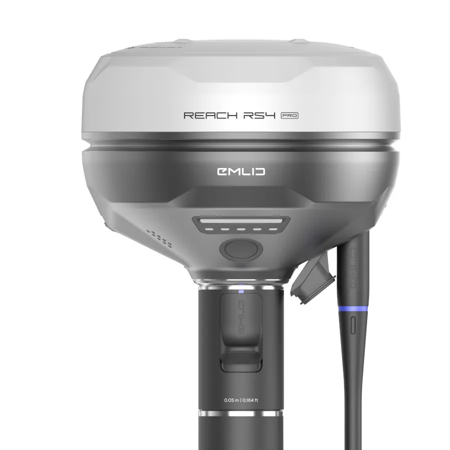
Emlid Reach RS4 Pro RTK GNSS Receiver for Faster; Safer Surveying
The Emlid Reach RS4 Pro is a next-generation RTK GNSS receiver and survey-grade GPS system built for professionals who need speed; accuracy; and reliability on real-world sites.
As an authorised UK Emlid dealer since 2018; Innovelec supplies the RS4 Pro with expert support; fast UK delivery; and practical guidance to help you get the most from your equipment.
On many sites; getting a pole exactly where it needs to be is easier said than done. You might be working across a busy road; behind a fence; or near an area that simply isn’t safe to access. What should be a simple measurement can quickly become slow; awkward; and frustrating.
The RS4 Pro is built to remove that problem.
With all-band GNSS; dual cameras; and visual stakeout; it allows you to capture accurate data without needing to physically stand on every point. The result is a GNSS receiver for professionals that helps you work faster; stay safer; and get the job done with confidence.
✅ Centimetre-level RTK accuracy
✅ Visual stakeout with augmented reality guidance
✅ Measure inaccessible points safely from a distance
✅ Built for construction; utilities; rail; and land surveying
What Makes the RS4 Pro Different
Most RTK GNSS receivers rely entirely on coordinates. That means you are constantly translating numbers into positions on site.
In straightforward environments; that works. But on real projects; it often slows you down.
You might spend time repositioning; double-checking; or trying to access a point that simply is not practical to reach.
The RS4 Pro changes that.
By combining survey-grade GNSS positioning with visual feedback; it allows you to see where points are in the real world; not just on a screen.
This means you can:
- Stake out points with confidence; even in complex layouts
- See exactly where to place points without second-guessing
- Capture measurements across obstacles without stopping work
For teams using GNSS for land surveying; construction; and infrastructure; this removes friction from everyday tasks and makes workflows more predictable.
Key Features
- All-Band RTK GNSS Receiver
A high-accuracy GNSS receiver for surveying that maintains reliable positioning across all major constellations - Dual Cameras
Capture measurements visually when direct access is not possible - Visual Stakeout Workflow
Reduce interpretation and work directly with what you see on site - Remote Point Capture
Measure across roads; barriers; and obstacles without disrupting the job - Fast Initialisation and High Accuracy
Spend less time waiting and more time working - Rugged Design
A survey-grade GNSS receiver built to handle daily site conditions - Seamless Integration
Fits into existing workflows with Emlid Flow and standard survey tools
Use Cases for the RS4 Pro
Construction and Site Setout
On busy construction sites; time pressure is constant and mistakes are costly.
Instead of working from coordinates and hoping alignment is correct; the RS4 Pro lets you see exactly where points belong. This reduces rework and gives teams more confidence when setting out complex designs.
Utilities and Infrastructure
Utility work often involves confined spaces; restricted access; and active worksites.
With a traditional RTK GPS system; even simple measurements can require workarounds. The RS4 Pro allows you to capture those same points safely from a distance; keeping work moving without unnecessary delays.
Rail and Highways
When working near traffic or live rail; safety is always the priority.
The RS4 Pro helps reduce exposure by limiting the need to physically reach difficult points. This makes it a valuable GNSS receiver for professionals working in high-risk environments.
Land Surveying
Surveyors frequently deal with uneven ground; obstacles; and partial visibility.
The RS4 Pro provides consistent survey-grade GNSS accuracy; while making it easier to handle areas that would normally slow down a survey.
Visual Stakeout and AR Workflows
Traditional surveying requires interpreting coordinates and translating them into positions on site.
That process takes time; and on complex jobs; it often introduces uncertainty.
The RS4 Pro removes this step.