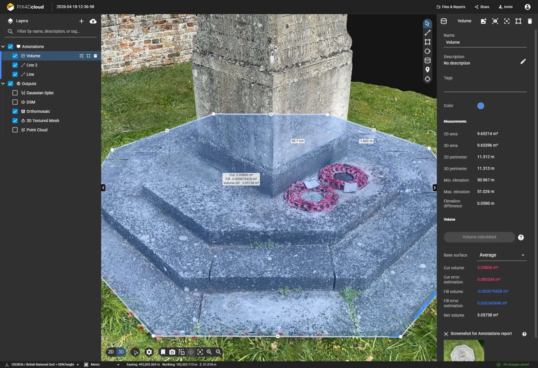
PIX4DMatic UK | Professional Photogrammetry Software for Large-Scale Drone Mapping
PIX4DMatic is advanced photogrammetry software designed for surveyors; engineers; construction professionals and geospatial specialists who require fast; reliable processing of large drone and terrestrial image datasets. Built for modern reality capture workflows; PIX4DMatic transforms thousands of images into highly accurate orthomosaics; point clouds; digital surface models (DSM); digital terrain models (DTM) and detailed 3D meshes.
Designed to handle large-scale mapping projects; corridor surveys and high-resolution reality capture; PIX4DMatic delivers survey-grade results while reducing processing time and simplifying project management.
Why Buy PIX4DMatic from Innovelec?
Innovelec is an Authorised PIX4D Reseller providing UK-based sales advice; licensing support and geospatial expertise for surveying; utilities; construction and engineering workflows.
✅ Authorised PIX4D Partner
✅ UK-Based Technical Support
✅ Fast Digital Licence Delivery
✅ Advice on RTK Hardware Compatibility
✅ Support for Construction; Utilities & Surveying
✅ Phone & Email Assistance
Choosing the Right PIX4DMatic Licence
PIX4Dmatic Analyst
Ideal for individual users and organisations that need professional photogrammetry processing without advanced collaboration and automation features.
Best for:
- Small surveying projects
- Construction site monitoring
- Occasional drone mapping
- Independent surveyors and consultants
PIX4Dmatic Standard
Designed for organisations processing larger datasets and requiring more advanced photogrammetry workflows.
Best for:
- Professional surveying companies
- Engineering projects
- Regular drone mapping operations
- Infrastructure inspections
- Utility surveys
Benefits include:
- Faster processing workflows
- Enhanced project management
- Support for larger mapping datasets
- Improved scalability for growing teams
PIX4Dmatic Pro
The complete solution for high-volume; enterprise-scale reality capture and drone mapping projects.
Best for:
- Large surveying organisations
- Infrastructure and corridor mapping
- National mapping projects
- Utilities and asset management
- Engineering and geospatial teams processing thousands of images
Benefits include:
- Maximum processing capability
- Large-scale project support
- Enterprise workflows
- Advanced photogrammetry and quality control tools
- Optimised performance for the most demanding projects
Which PIX4Dmatic Licence Is Right for You?
Whether you’re processing a small drone survey or managing large-scale infrastructure mapping projects; Innovelec can help you select the most appropriate PIX4Dmatic licence for your workflow; budget and project requirements.
Need advice? Contact Innovelec for guidance on Analyst; Standard and Pro licensing options.
One important note: before publishing; I’d verify the exact feature differences between Analyst; Standard and Pro against the current PIX4D licensing matrix. The text above is safe marketing copy; but if you’re going to list specific capabilities; we should check the current PIX4D licence comparison first so we don’t accidentally misstate a feature.
Built for Large Drone Mapping Projects
PIX4DMatic has been developed to process thousands of high-resolution images efficiently; making it ideal for professional drone mapping operations. Unlike traditional photogrammetry software; it is optimised for large datasets and complex projects where accuracy; scalability and processing speed are critical.
Key Outputs
- Dense point clouds
- Classified point clouds
- True orthomosaics
- Digital Surface Models (DSM)
- Digital Terrain Models (DTM)
- Textured 3D meshes
- Engineering and GIS-ready deliverables
The advanced processing engine is designed for large-area mapping; long corridor projects and multi-flight datasets while maintaining survey-grade accuracy throughout the workflow.
Fast; Reliable Photogrammetry Processing
PIX4DMatic streamlines drone mapping workflows by automating key processing steps and reducing manual intervention.
Performance Benefits
- Fast GPU-accelerated processing
- Efficient handling of large image datasets
- Support for thousands of drone images
<