Pix4Dcatch
High‑Precision Mobile 3D Scanning — Made Simple
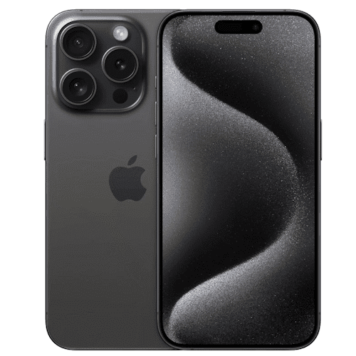
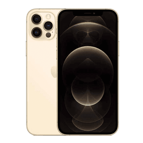
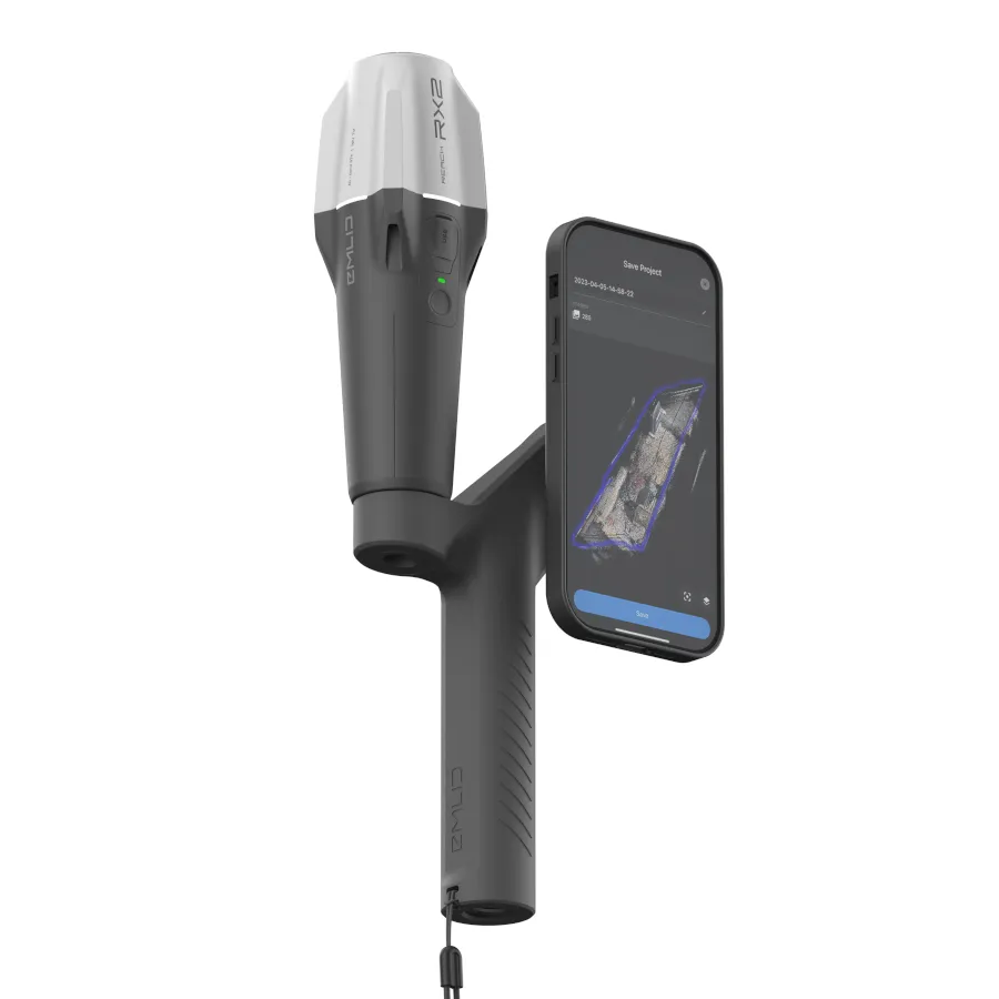
Pix4Dcatch transforms any compatible smartphone or tablet into a professional 3D scanning tool.
Deliver survey‑grade accuracy; detailed 3D models; and fast field capture — without the complexity of traditional surveying hardware.
Ideal for teams in utilities; construction; civil engineering; insurance; and surveying; Pix4Dcatch enables reliable; georeferenced data capture in just minutes.
A Professional 3D Scanner — In Your Pocket
- Combines LiDAR + photogrammetry for rich; accurate 3D models
- Supports RTK receivers for centimetre‑level precision
AR‑Powered Guided Capture
Smart AR overlays provide:
- Coverage guidance
- Real‑time mesh and point cloud previews
- Path indicators for complete; consistent scans
Even new users can capture high‑quality data confidently.
Instant Feedback = Fewer Re‑visits
Quality indicators flag issues such as:
- Poor coverage
- Motion blur
- Weak geometry
This ensures the job is done right on the first visit.
Flexible Processing & Integration
Process data wherever it fits your workflow:
- Upload directly to Pix4Dcloud
- Export to Pix4Dmatic; Pix4Dmapper; or GIS platforms like ArcGIS
Seamless movement from field to office.
Perfect For These Applications
Utilities & Subsurface Mapping
- Capture trenches and buried assets
- View as‑built conditions in AR — even after trench closure
Construction & Earthworks
- Overlay IFC/DXF/SHP designs for verification
- Measure volumes and stockpiles
- Document pre‑ and post‑excavation conditions
Civil Engineering & Site Verification
- Compare CAD models directly against field conditions
- Fast; accurate progress verification
Insurance & Claims
- Capture detailed; reliable damage data
- Produce professional; defensible documentation
Surveying & Geospatial Work
- Ideal for small sites and rapid field checks
- Integrates RTK for survey‑grade workflows