
Why buy the Emlid Reach RX2 from Innovelec?
Emlid Reach RX2
Compact All‑Band RTK GNSS Rover with Tilt Compensation
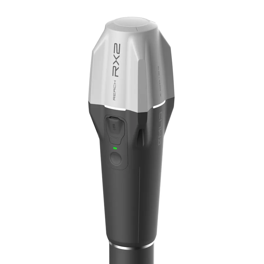
The Reach RX2 is a powerful; pocket‑sized RTK rover designed for fast; reliable; and accurate data collection in any environment. With full GNSS support; tilt compensation; and seamless mobile integration; it provides dependable centimeter‑level accuracy for teams working in construction; utilities; GIS; surveying; and environmental applications.
Key Features
- All‑Band; Multi‑Constellation GNSS
Tracks GPS; GLONASS; Galileo; BeiDou; QZSS; and NavIC on all frequencies for outstanding reliability—even under canopy or in dense urban areas. - Centimeter‑Level Accuracy (RTK)
Connects to any CORS network for precise; real‑time positioning. - Tilt Compensation
Capture points without leveling—ideal for complex terrain and obstructed locations. - Works with Esri & Common GIS Apps
Fully compatible with Field Maps; QField; Survey123; Mergin Maps; and more. - Mobile‑Ready (iOS & Android)
Apple MFi‑certified for stable iPhone/iPad use; plus full Android support. - Enhanced Terrestrial Scanning
Use with PIX4Dcatch to collect high‑accuracy 3D models of vertical surfaces and hard‑to‑reach areas—perfect for utilities; volumes; and as‑built documentation. - Compact; Lightweight & Tough
Weighs only 280 g; weather‑resistant; and delivers up to 18 hours of battery life. USB‑C charging. - Emlid Flow App Included
Real‑time cloud syncing; project sharing; and smooth field‑to‑office workflows.
Emlid Reach RX2 Use Cases
- Construction layout
- Utility mapping
- Environmental & land management
- Local government GIS
- Urban development & digital twin projects
- Water resource & infrastructure monitoring.
Mobile 3D Scanning with Reach RX2
The Emlid Reach RX2 can be paired with PIX4DCatch to capture accurate georeferenced point clouds; 3D models; and digital twins using an iPhone and RTK corrections.
Together; the Emlid Reach RX2 and PIX4DCatch provide a lightweight mobile reality capture workflow for surveying; infrastructure; utilities; and construction projects.
Combining RTK GNSS positioning; LiDAR scanning; and photogrammetry; the Emlid Reach RX2 and PIX4DCatch provide a fast and cost-effective workflow for reality capture; infrastructure inspection; asset documentation; and site verification.
Ideal for:
- Infrastructure inspections
- Utility asset mapping
- Digital twin creation
- As-built surveys
- Construction progress monitoring
- Site verification
Looking for a complete mobile scanning solution?
→ View the Emlid Reach RX2 & PIX4DCatch Mobile Scanning Kit