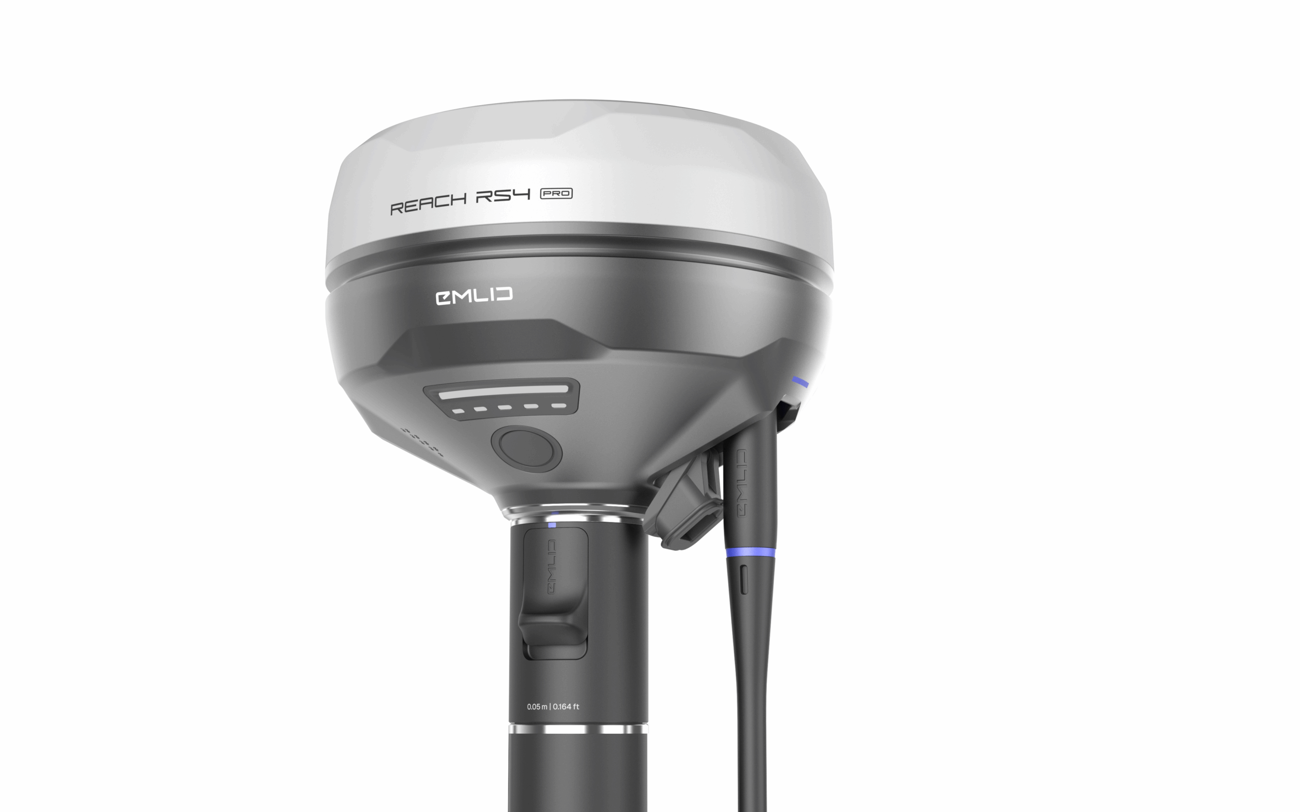
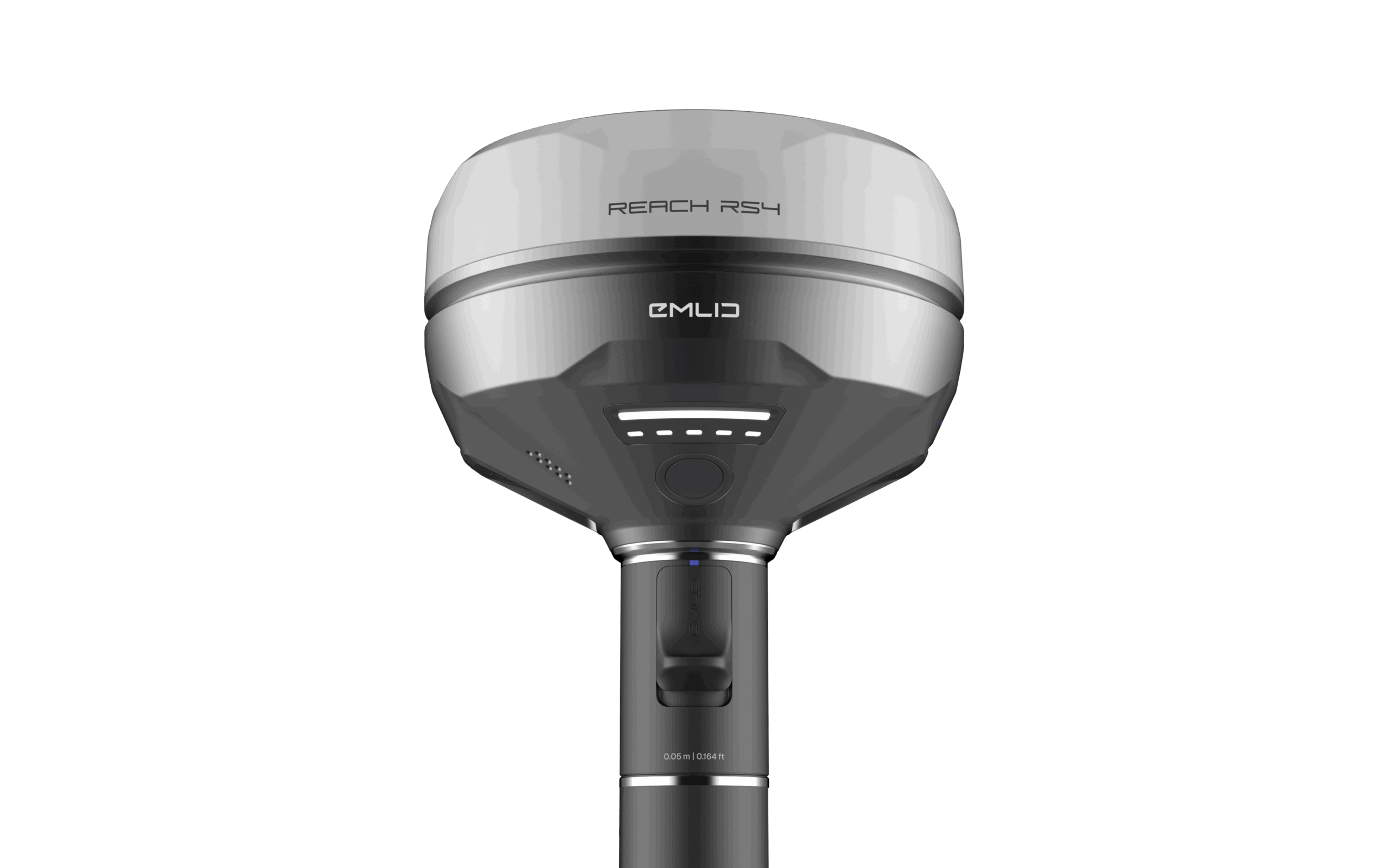
Emlid Reach RX2
Compact; All-band RTK GNSS Rover with Tilt Compensation
Reach RX2 delivers rapid; reliable mapping in every environment.
Engineered for reliable data acquisition and streamlined layout design
Every Reach RX2 includes Emlid Flow; a powerful; easy-to-use mobile app for iOS and Android that streamlines fieldwork across industries like construction; utilities; GIS; and landscaping.
Real-time cloud syncing keeps your office team aligned with the latest field updates.
Designed to work with Esri and other industry-standard GIS apps
Seamlessly integrate high-precision GPS data into your existing workflow. Ideal for local and state governments; urban development; digital twin projects; water resource management; environmental conservation; and much more.
With Apple MFi certification; the RX2 connects reliably and natively to iPhones and iPads; while also offering smooth compatibility with Android devices.
The RX2 works effortlessly with leading data collection apps like ArcGIS Field Maps; QField; Survey123; Mergin Maps; and many others.
Reliable terrestrial data capture with centimeter-level precision
Unlock high-accuracy terrestrial scanning with the RX2. Simply mount it on a handle and pair it with a compatible scanning app like PIX4Dcatch to start capturing.
Generate detailed 3D models of vertical surfaces and hard-to-access areas—ideal for utility mapping; volume measurements; and as-built documentation.
Exceptional GNSS accuracy; even beneath trees or in rugged terrain
The RX2 tracks all major global navigation satellite systems—including GPS; GLONASS; Galileo; BeiDou
Related products
RTK Receivers,Survey and Data Collection,GNSS Receivers

RTK Receivers,Survey and Data Collection,GNSS Receivers
RTK Receivers,Survey and Data Collection,GNSS Receivers