Pix4Dcloud; an advanced photogrammetry software that utilizes images to create professional orthomosaics; point clouds; models; and more. It is a user-friendly web-based software designed for simplicity; eliminating the need for expertise in photogrammetry; and it supports the upload and display of various photogrammetric files such as LAS or LAZ point clouds and OBJ+MTL+JPG 3D textured meshes
Professional photogrammetry on the cloud
Easy to Use
Start your new project in minutes. User-friendly platform with no previous training required.
Straightforward Communication
Share your project status with team and stakeholders with the click of a button.
Up-to-date documentation
Keep a permanent and up-to-date record of the project and resolve disputes efficiently.
Map; measure; and document the progress of your site
Timeline analysis
Visual timeline of your jobsite for site tracking and project documentation
Calculate and compare volumes
Perform quick and precise volume calculations and compare them over time
Visualize your IFC files
Overlay your IFC files onto the 3D point cloud or mesh and get better visualization of your project
Overlay design plans and maps
Compare the as-built with the as-designed to instantly verify site progress
overtime comparison
Compare in 2D/3D over time
Remotely inspect any jobsite from any device or location; just with an internet connection
Virtual inspections
Remotely inspect any jobsite from any device or location; just with an internet connection
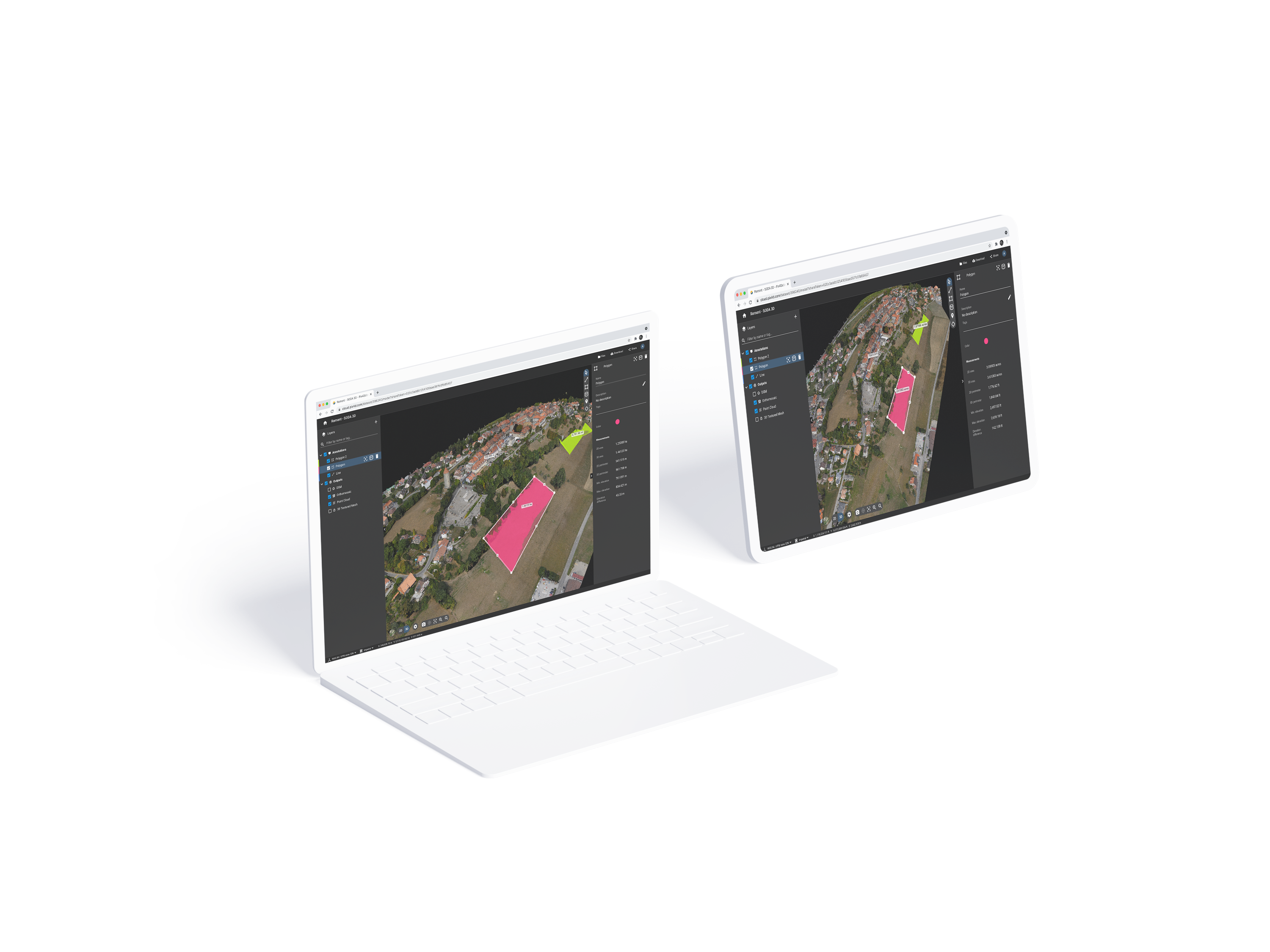
Measure; annotate and share
Measure distances; highlight critical elements and share data with your team; clients or stakeholders
Trimble Connect integration
Directly integrate your data to Trimble Connect for a seamless workflow
Monitor your projects online
Pix4Dcloud Solutions For you
Basic
Create accurate 2D maps and 3D models from images
Measure distances; areas; and volumes
Add annotations
Generate elevation profiles
Perform virtual inspections
Share with team and stakeholders
Basic Features
Advanced
All Standard features; plus
Track and document site progress with visual Timeline
Compare volumes over time
Overlay design plans and maps
Compare two image maps to see what has changed
Improve collaboration with PDF reports
Advanced Features
Enterprise
All Advanced features; plus:
API Access
SSO
Custom integration
Custom storage
Pay per use or unlimited
Contact Us